
A weather warning and special weather statement have been issued for Jasper National Park as significant snowfall is forecast for the area.
The special weather statement is in effect for Jasper National Park near Jasper, near and south of Sunwapta Falls, and near Pocohontas, while the winter storm watch is for the Icefields Parkway, Highway 93 North from Jasper to the Saskatchewan River Crossing.
A Pacific low pressure system is expected to begin to move into Alberta from British Columbia late tonight (Oct. 15), and track through the province on Friday.
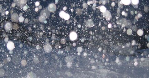
Significant snowfall associated with this system is expected to begin this evening with accumulations of up to 10 centimetres by Friday afternoon, with higher amounts along the foothills and in the mountain parks.
Environment Canada warns that there could be accumulations excess of 25 centimetres for portions of the Icefields Parkway by Friday afternoon.
Rapidly falling snow with winds gusting near 70 kilometres per hour in exposed portions of the highway may lead to poor visibility and local blowing snow.
And as the cold front passes through the region Friday afternoon, temperatures are expected to rapidly fall below zero with snow and strong northerly winds with gusts of 60 to 80 kilometres per hour.
This abrupt change in weather may lead to hazardous travel conditions and Environment Canada warns drivers to avoid travel if possible.


